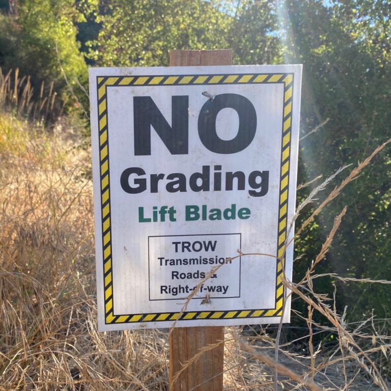
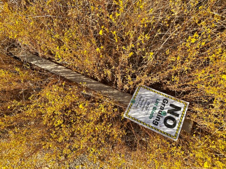
I came across a bunch of “no grading” signs while hiking the Edison Catway near San Ysidro Trail. Does it mean there will be construction there? —J.
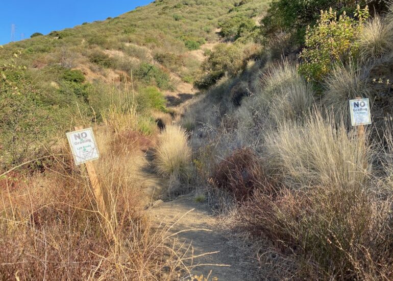
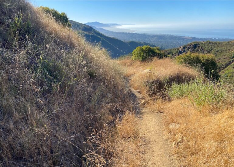
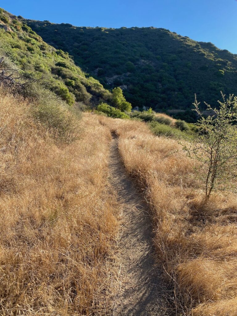
Indeed, it does. Southern California Edison will start work in the next couple of weeks on rebuilding the Edison Catway, a “transmission road” (allowing access to transmission towers) that runs from Buena Vista Trail to Cold Spring Trail and was damaged in the storms of 2023 and 2024. What was once wide enough for a vehicle is now a single-track trail in many places. The “no grading” signs appear at waterways, presumably so that crews won’t do anything to reroute the flow of water down the mountainside. Here’s hoping they look closely, for many of the signs have fallen over.
According to a rep for the utility, full trail closures are unlikely, but “traffic control will be implemented for safety, and there may be instances when hikers need to be temporarily stopped for their safety.”
That part of the front-country trail system is certainly taking a hit these days, what with this and the other projects underway: San Ysidro Ranch’s “botanical garden” expansion, the debris basins at San Ysidro Creek and Cold Spring Creek, and the upper San Ysidro Trail reconstruction.
Previous Burning Questions:
••• Why are there pedestrian gates at train tracks?
••• Is this Summerland’s original train station?
••• What does the “S” on certain chimneys stand for?
••• What’s the status of the decommissioning of Rincon Island?
••• What happened to the gas flame on Highway 101?
••• What do we know about the proposed apartment complex at 1 Hot Springs Road?
••• What’s the history of this tower on Ortega Ridge?
••• What’s up with these sculptures on a hillside in Summerland?
••• Is there a master plan for the new walking paths in Montecito?
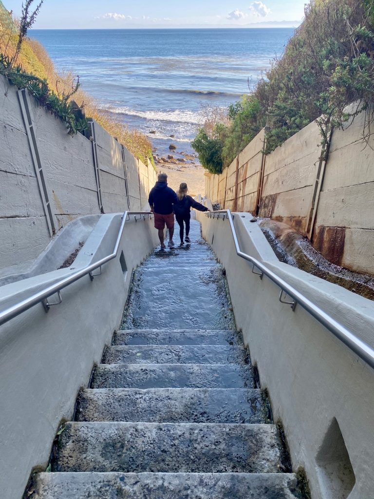
↓↓↓ Why are the Thousand Steps still wet?
••• What’s happening with Sola Street?
••• Why are trees being cut down above the San Ysidro Ranch?
••• Why is this lot on Milpas Street still vacant?
••• Where else do cruise ships that visit here go?
••• What’s happening with the Pepper Tree Inn?
••• What is this large memorial in Ennisbrook?
••• Who bought the former St. Mary’s seminary—and why?
••• What will happen to the SBPD building when the new building is completed?
••• How does the city decide to mark bike lanes?
••• What’s the story with this house on W. Cota Street?
••• What are those little houses on Santa Barbara Street?
••• What’s the point of this light pole near the freeway?
••• What’s inside Paseo Nuevo’s State Street tower?
••• What’s the point of these markings on Laguna Street?
••• Why is there a giant red shoe off Highway 101?
••• Are we no longer allowed on the SBHS baseball field?
••• What does “SBTP” on this post mean?
••• What’s up with the “no e-bike” signs on local trails?
••• What’s happening with this derelict house in Summerland?
••• Why is there wood on some power lines?
••• Can you explain how sundowner winds work?
••• Why is there a pressure cooker attached to this utility pole?
••• What’s this concrete ramp thing on East Beach?
••• Why does “USA” get written on the street?
••• What are those poles in the ocean near the Ritz-Carlton Bacara?
••• Are people really allowed to set fires in the middle of Montecito?
••• What’s the story with the half-finished lot next to the Montecito Country Mart?
Sign up for the Siteline email newsletter and you’ll never miss a post.






Standard procedure to start these types of projects after September first as that is when the “Emergency Declaration” kicks in to allow waiving many of the environmental requirements to be able to complete the project before the winter storm season. My guess is that most of these signs will be ignored due to this and due to many of them having fallen down as you stated.
Other projects impacting use of the front country trails include Tunnel Road trailhead closed for the rest of the year, on going (with little progress) parking issue at Hot Springs trailhead, San Ysidro trail closed, new debris basin at Buena Vista trailhead, and Romero road to the saddle being closed.